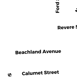
265 REVERE ST
Owner Information
265 REVERE STREET TRUST
269 REVERE STREET
REVERE, MA 02151


Property Details
265 REVERE ST is classified as a Multiple Houses on one parcel (Three family).
The primary structure on this property was built in 1910. There are 3,708ft2 of built area within this property. There is 3,708ft2 of residential/living space within this property. This property is listed as having 12 rooms. There are 4 units within this property.
265 REVERE ST is valued at $638,500. The land is valued at $201,500 and the structures are valued at $434,200. There is an additional valuation of $2,800 on this property.
This property is in Zone RB. Confirm with local Zoning Board authorities to ensure there are no overlays or other easements on this property.
The most recent deed for 265 REVERE ST is recorded at the local registrar in Book 46271, Page 104. 265 REVERE ST was last sold on Wednesday, April 7, 2010 for $249,000.
Assessment data from fiscal year 2022.
Flood Data
According to the FEMA National Flood Hazard Layer, this property does not appear to be in a flood zone. It may also be in an area not yet reviewed. Nonetheless, confirm this information prior to taking any action.
To view the flood hazards around this property, create a FEMA "Firmette" Map of the area around 265 REVERE ST.
Broadband Internet Providers
| Provider | Type | Bandwidth (mbps) | |
|---|---|---|---|
| Comcast | Cable | 1000 | 35 |
| VSAT Systems, LLC. | Satellite | 2 | 1 |
| HughesNet | Satellite | 25 | 3 |
| GCI Communication Corp. | Satellite | 0 | 0 |
| Starry, Inc. | Fixed Wireless | 200 | 200 |
| RCN | Cable | 1000 | 20 |
| RCN | Cable | 500 | 20 |
| Viasat Inc | Satellite | 100 | 3 |
| Verizon New England Inc. | DSL | 7 | 0 |
Broadband service provider data from December 2020.
Adjacent Properties
- 279 REVERE ST
Apartments with Four to Eight Units owned by TRUJILLO DIANA VICTORIA - 259 REVERE ST
Single Family Residential owned by ABRUZZESE ANA DE - 0 WAITE ST
Undevelopable Residential Land owned by ABRUZZESE ANA DE - 0 WAITE ST
Undevelopable Residential Land owned by 265 REVERE STREET TRUST - 0 WAITE ST
Accessory Land with Improvement owned by 265 REVERE STREET TRUST